HUAGURUNCHO INCA TRAIL TO THE JUNGLE
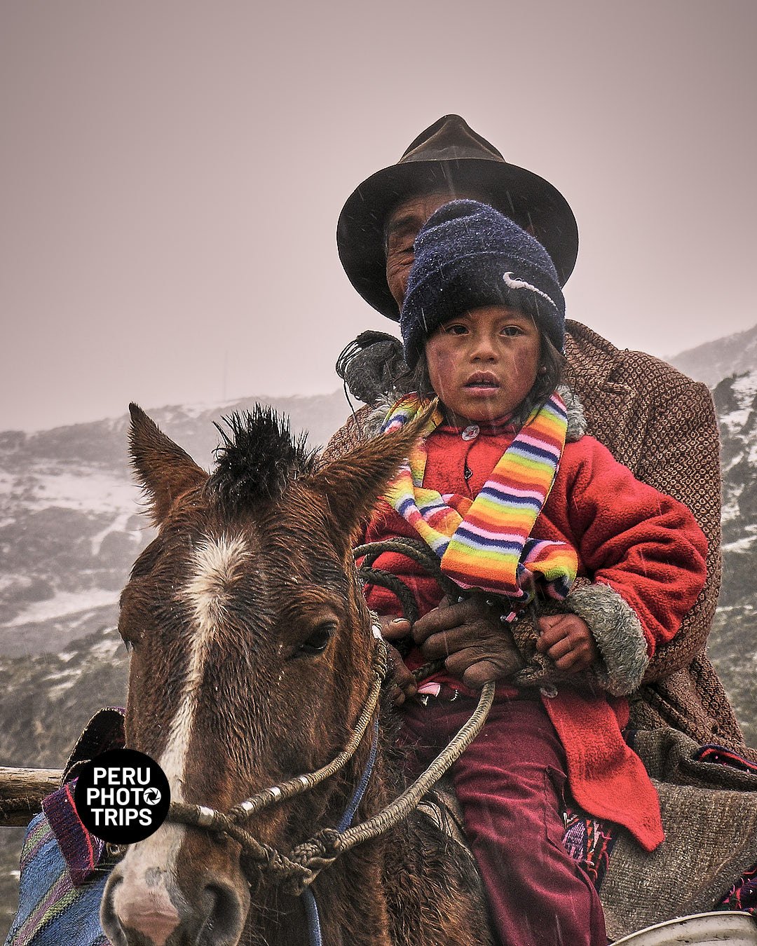
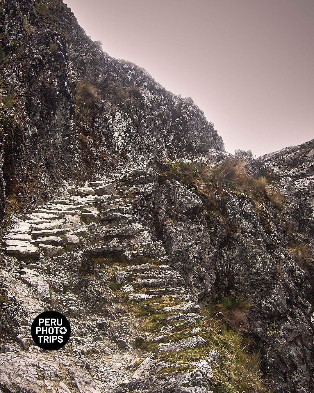
We went two times trying to find a way to connect the central Andes with the Central jungle, previously we did some research and read some papers about an Inca trail that goes to the jungle. The first time we went it was covered of snow and raining, we scout the zone and prepare our second try. The second time we made it, we climbed the Inca stone stairs and started to ride down to the jungle (yes ride, we were with bikes) The trail is very well marked but weather was again against us but this time there was no way back or out, we have to continue. Finally we finished our adventure and reached the Jungle near Oxapampa dropping from 4,550 to 1,300 mt. There was not too many options for shooting, we were on the rush of saving ourselves and not be there at night with no refugee. Anyway we did some.
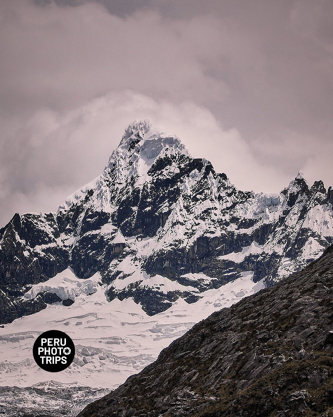
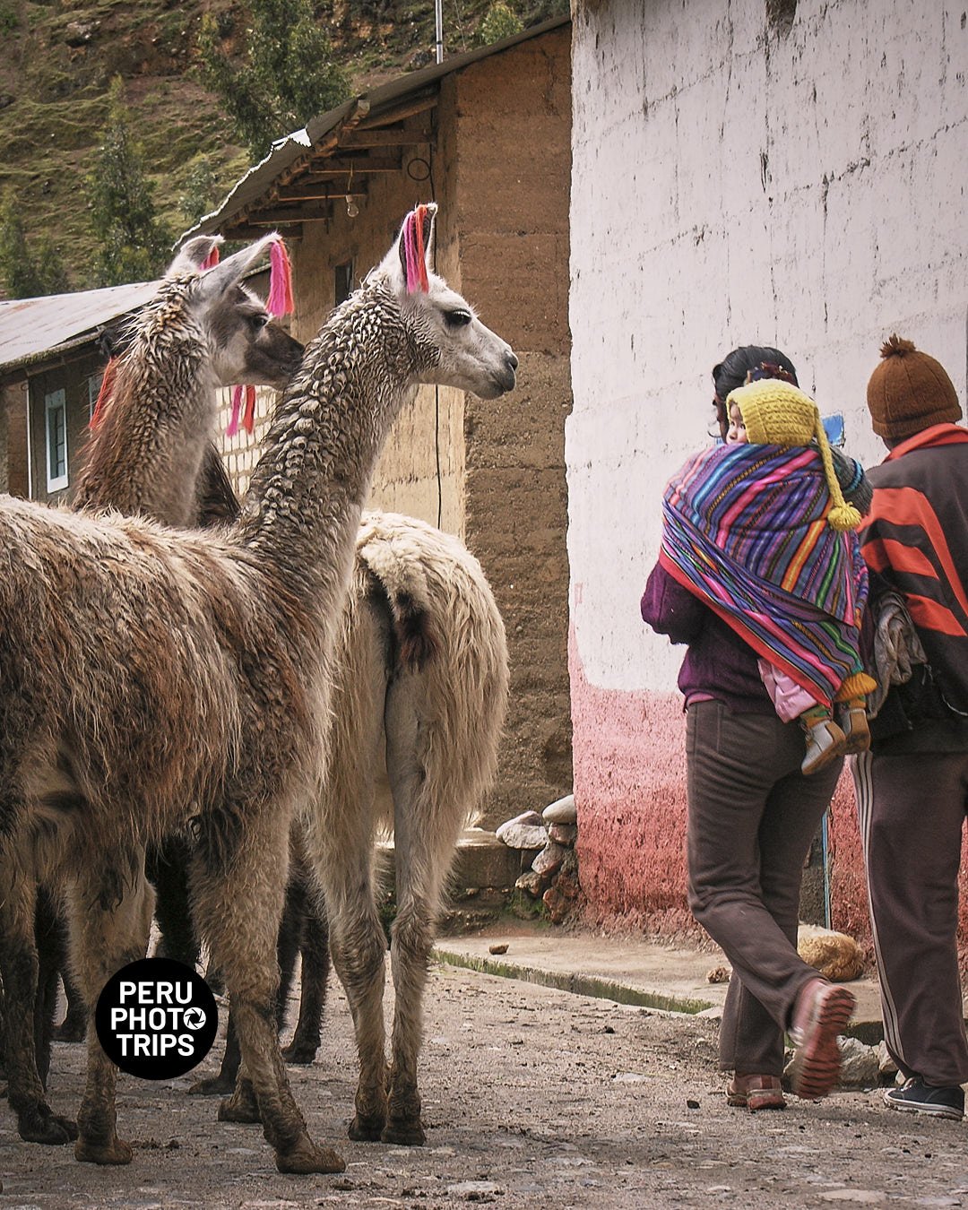
For the records, the trip starts in Ninacaca, a small town at 4,150 masl, from there, we have to pass the highest altitude in our driving trip (4,400m), and from that point start a downhill trip to Huachon town, one of the few villages at the bottom of the valley and the point to start the climb to Huaguruncho summit.
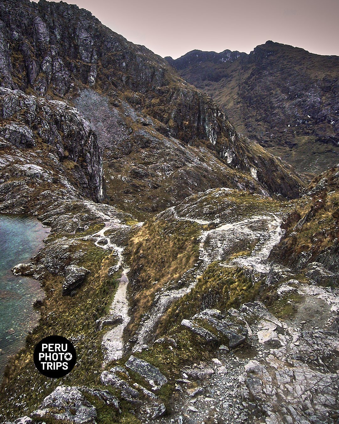
One hour driving up from Huachon (3,400m) and we start the hike from the bottom of the trail at 4,000m up to the pass at 4,550m by the ancient Inca Trail, still there intact, marked and with stairs made with stones.
Once at the top, a trail starts down to the jungle to connect Mallapampa the first village on our way to Oxapampa.
Want to arrange a photo trip? Contact me.
Written and photographed by Jaime Quiroz Tirado
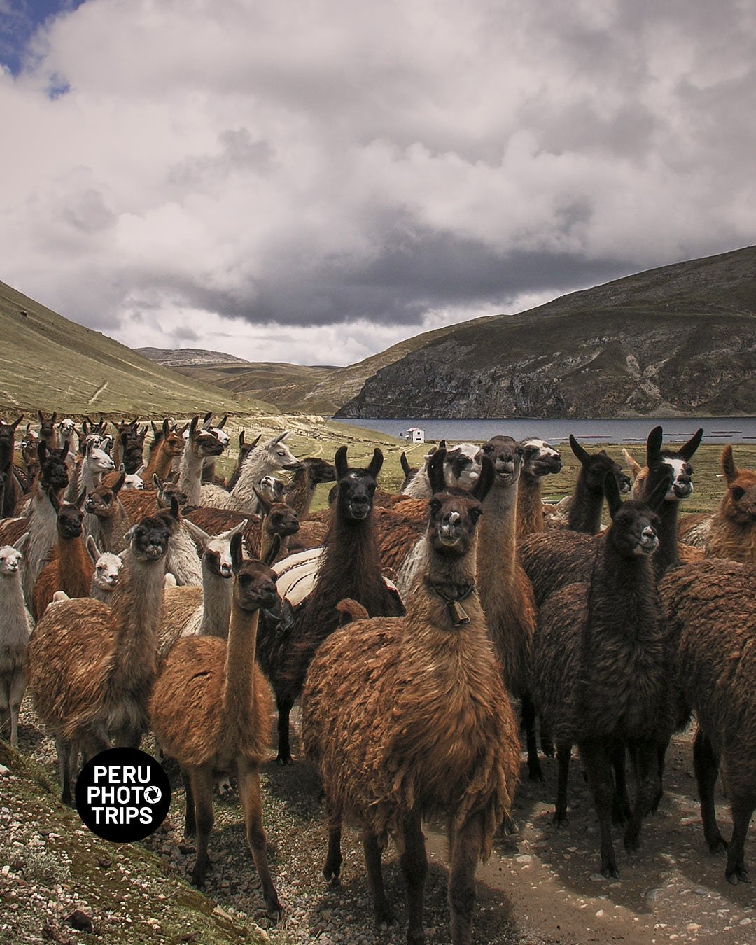
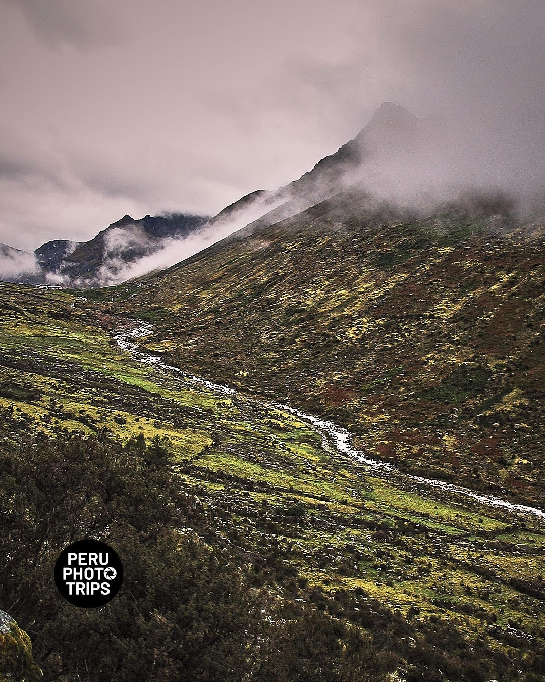
Fuimos un par de veces para intentar cruzar de los Andes a la selva por un camino Inca del que leímos previamente. Lo bueno es que lo encontramos, lo malo es que tuvimos muy mala suerte con el clima, de todas maneras algunas fotos pude tomar.
El viaje se inicia en Ninacaca, un pueblo ubicado a 4,150 msnm, de ahi se continúa subiendo hasta el abra a 4,400m que nos va a llevar valle abajo hasta el poblado de Huachon a 3400 m, desde donde inicia otro camino que despues de una hora de ascenso nos va a dejar en la base del camino Inca y del nevado Huaguruncho.
Subimos desde los 4,000m por sus peldaños de piedra hasta llegar al paso a 4,550m, y el viaje continuó río abajo hasta llegar a la selva no sin antes sufrir una tormenta que nos dejó completamente mojados y sin ningún soporte que nos ayude salvo nuestras ganas de seguir y llegar a Mallapampa para conectar finalmente Oxapampa.
